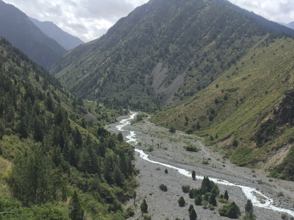
Part 2: Practical training on forest inventory for field groups in Kegeti gorge
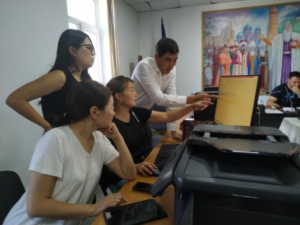
From June 9 to 14, the practical training for the 12 field teams were held in the Kegeti Gorge. This practical training enabled a high-quality of the field data collection as field teams got acquainted with all work steps on the plots and daily use of new measurement tools, metal detector and tablets and field data collection software.
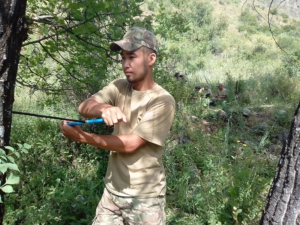
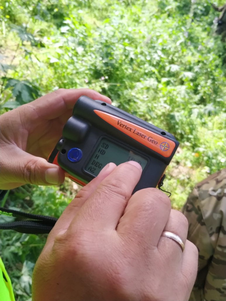
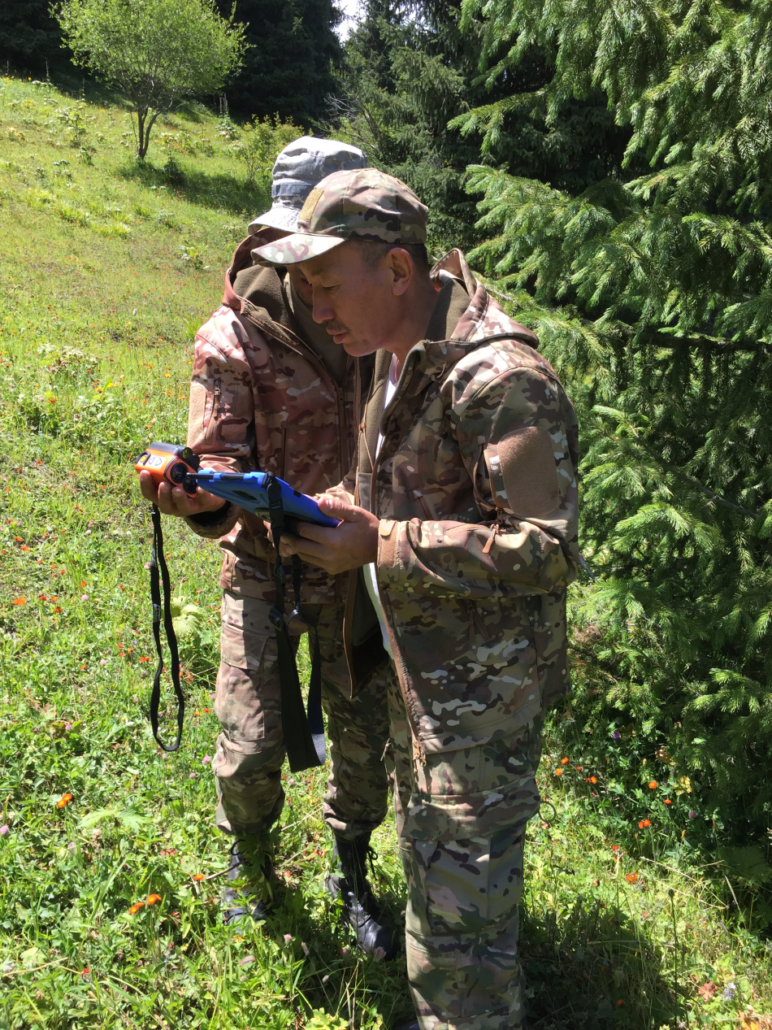
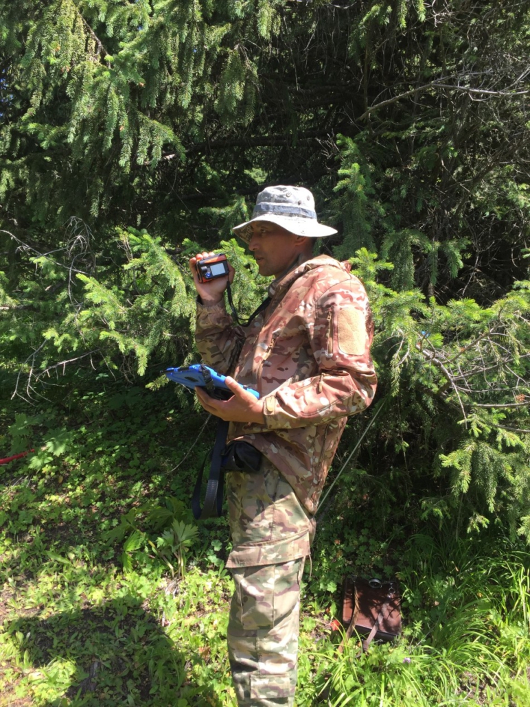
To become familiar with new instruments and methodology and ensure that each trainee receives the necessary attention by the trainers, the practical training was divided on the first two days into four small training points. The trainee groups was divided into four groups as well and each trainees had to pass these four training stations several times. Each training point was managed by at least one supervisor: Training point I: Basics of the Vertex Geloaser 5 and its different measurement methods and functions; Training point II: Measurement of main parameter to be assessed with the Vertex Geolaser 5, such as tree position (azimuth and distance), diameter; tree height, slope etc.; Training point III: Practicing the working sequence on the plot by using the field data collection software on the tablet; Training point IV: Regeneration assessment, collection of bore cores, usage of metal detector, reminding on the special features of different plot types, , etc.
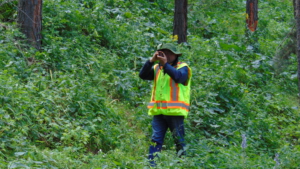
Teams of foresters learned to take measurements on test plots. With the help of the GPS navigation instrument, they found the location of the plots, assessed and measured the stand and tree attributes and entered the measurement data in the field tablets under the guidance of leading specialists from the UNIQUE-CAREC supervision & control teams working as trainer. Already on the plots itself, the teams found the center of the plot and determined the coordinates and three anchor points. After that, the distance from the center of the circular plot and the azimuth of the anchor point were measured. The group’s observations were recorded for the presence of shrubs, grass cover, crown closure, and percentage of shrub cover. Then they measured the trees and described their location in terms of distance and azimuth from the plot center, their condition, diameter and height, and if given, damages. They examined the area for the presence of stumps and also assessed their condition and when it was cut down. The age and growth of trees were measured using a drill. All data were recorded in parallel with the workflow.
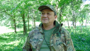
Akmat Nuraliev, one of the most experienced specialists of the forest inventory Department at the state forestry Agency, shared his opinion about working on a virtual plot:
– “As field team leaders, we have been trained intensively on the new methodology for data collection. And the learning process was greatly facilitated by the fact that it coincides with our methodology used in the forest management planning process on leskhoz level. But there are points that allow us to get data in an extended version. It was new for us to learn the multi-functional tools of the instrument Vertex Geolaser and the field data collection app on the tablets. Both made it easier to collect data, and we don’t do double work – the data is automatically sent to the server. When testing on a real plot, we experienced that the measurements take less time and field work is not physically so tiring. Still, you need to be careful and accurate when using tools and filling in data. During field work on the roads, we go out in groups of four people-the team leader, assistant, worker and driver. The team leader fills in all the data, the assistant measures all the parameters using the tools, and the worker helps the assistant with tree measurements and making marks. This division of responsibilities helps to effectively allocate time and work.”
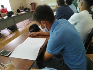
On the last day, all field team experts passed a test for knowledge of the methodology, organization of the field work process and use of the tools. After that, the teams were assigned to regions of Kyrgyzstan where they are now conducting the NFI#2 field work.

